To better understanding of the interactive process of sea ice and upper ocean in the Arctic, ice-borne automated real-time observing system has been developing over the past decades. Drift-Towing Ocean Profiler (D-TOP) designed by Ocean University of China consists of three components: a surface package including sensors of air temperature, humidity and pressure, modules of GPS and Iridium system and float on top of a sea ice, data cable of 120m in length to which CTD profiler (third part) directly connects. Sampling frequency of D-TOP is 12hours for a CTD profile and 1 hour for meteorological condition. The main difference in structure of D-TOP from the WHOI’s ITP is that there is no weight on the end of cable, which means that maximum depth in water D-TOP gets will vary depending on the current and movement of ice floe. However, D-TOP is designed to be able to come up to the bottom of sea ice, capturing the long-term hydrological features just beneath the ice bottom to study the interactive process of sea ice and ocean, especially in the melting and freezing seasons. Normally, the vertical range of profile is 1.5m beneath ice bottom to maximum depth D-TOP can get. Batteries inside of the float will support the data sampling and transfer for at least one year. Once D-TOP falls into water, the float will help it to survive for a while.
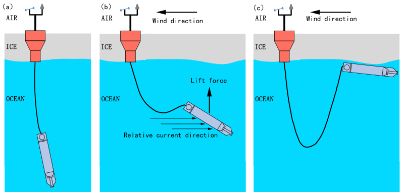
Schematic of the D-TOP performance
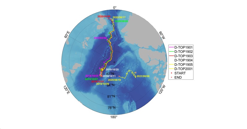
Trajectory of the D-TOP deployed in MOSAiC and CHINARE
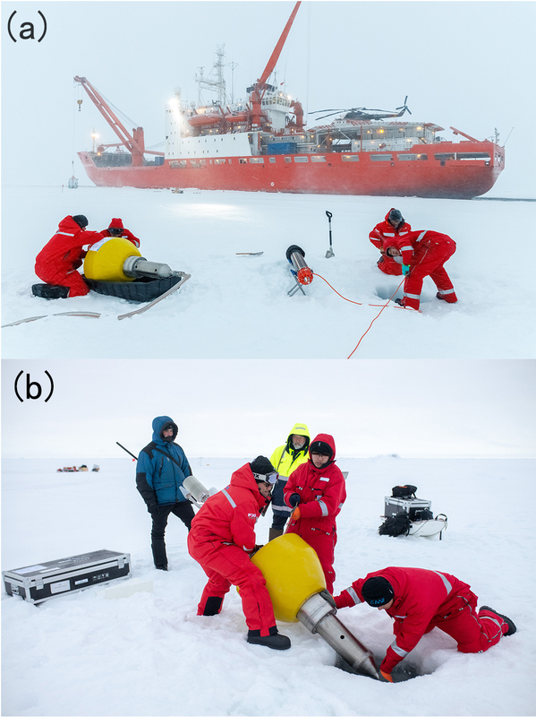
In-situ deployment of the D-TOP (Photos by Mario Hoppmann)